
Thabana Ntlenyana
The highest peak in southern Africa at 3,482m — technically in Lesotho but reached via the Sani Pass route from KZN.
Trip Role
Ideal stay
Best for
Our take
This is a long, slog of a hike across high-altitude Lesotho plateau rather than a dramatic peak. It is a worthy objective for peak-baggers, but the landscape is the real reward, not the summit itself.
This is a long, slog of a hike across high-altitude Lesotho plateau rather than a dramatic peak. It is a worthy objective for peak-baggers, but the landscape is the real reward, not the summit itself.
- Trip Role
- Only If Nearby
- Ideal Stay
- 8 to 11 hours, plus the drive to Sani Top.
- Best For
- peak-bagging, high-altitude hiking, remote landscapes, solitude
- Skip If
- casual tourists, those without 4x4 transport, people fearing altitude
- Go If
- You are a fit hiker who enjoys remote, high-altitude walking and wants to stand on the highest point in southern Africa. You must be comfortable with long days and unpredictable mountain weather.
Why it's worth your time
The highest peak in the subcontinent — 3,482m, reached via the Sani Pass from KZN.
What we love
The experience of walking through the high Lesotho plateau is far more rewarding than the summit itself. You move through a vast, quiet landscape of rolling hills, wetlands, and traditional shepherd outposts that feels entirely removed from the busy world below the escarpment.
What to know
You need a 4x4 to reach the Sani Top area, and you must clear both South African and Lesotho border posts. The hike is non-technical but long, often exceeding 20 kilometres round-trip. Weather changes rapidly; expect extreme cold, wind, or sudden storms even in summer. Always carry a map and navigation tools, as trails are often faint or non-existent.
The full guide
The Reality of the Summit
Do not expect a dramatic, pointed peak. Thabana Ntlenyana is a broad, flat-topped mountain situated deep within the Lesotho highlands. The summit is marked by a modest cairn, and the surrounding terrain is a vast, undulating plateau of alpine grassland and marshy valleys. The appeal here is not the verticality of the climb, but the sheer scale of the landscape. You are walking at an altitude where the air is thin and the weather is volatile. The summit itself is often obscured by cloud, and the views are expansive rather than intimate. If you are coming for a classic mountaineering experience with steep ridges and exposure, you will be disappointed. If you are coming to experience the silence and isolation of the high Drakensberg escarpment, the walk is excellent.
Logistics and Access
Accessing the mountain requires a 4x4 vehicle to navigate the Sani Pass. You must have a valid passport to cross the border into Lesotho at the top of the pass. Once you reach Sani Top, you are still a significant distance from the mountain. Most hikers base themselves at the Sani Mountain Lodge or nearby backpackers. The hike is a full-day commitment, often taking eight to eleven hours depending on your pace and the conditions. Because the route crosses remote, featureless terrain, navigation skills are essential. While the path is not technical, the combination of altitude and distance makes it a strenuous day. Always check the weather forecast before departing, as conditions can turn from sunshine to freezing rain or snow in minutes.
Combining the Visit
Most travellers combine this hike with a stay at the top of Sani Pass. If you are not a dedicated hiker, a standard Sani Pass day tour will only take you to the pub and the border post, which is not enough to reach the summit. If you have limited time, consider hiring a local guide from the lodge. They know the terrain, the water sources, and the safest routes across the plateau. If you are not prepared for a ten-hour hike, spend your time exploring the immediate area around Sani Top instead. The views from the escarpment edge are just as impressive as anything you will see on the summit, and you can enjoy them without the physical toll of the long trek.
Before you book
Questions Thabana Ntlenyana always raises
- Do I need a guide to hike Thabana Ntlenyana?
- You do not strictly need a guide if you are an experienced navigator with a good map and GPS. However, the terrain is featureless and weather can change rapidly, making it easy to get lost. A guide is highly recommended for safety and to ensure you find the best route.
- Is the hike technically difficult?
- No, it is a non-technical hike. You do not need ropes, climbing gear, or mountaineering skills. The difficulty comes entirely from the length of the walk, the high altitude, and the potential for extreme weather conditions. It is a test of endurance rather than technical ability.
- Can I drive to the summit?
- No, you cannot drive to the summit. You must park your vehicle at or near Sani Top and complete the journey on foot. The hike from the lodge is long, and even if you drive further into Lesotho to a closer trailhead, you will still have a significant walk ahead of you.
- What is the best season to go?
- The winter months from May to September are generally the driest, offering the most stable weather for hiking. However, it is also bitterly cold, and snow is common. Summer brings warmer temperatures but also frequent, violent afternoon thunderstorms that can make the high plateau dangerous.
More mountain in KwaZulu-Natal
Cathedral Peak (Mountain)
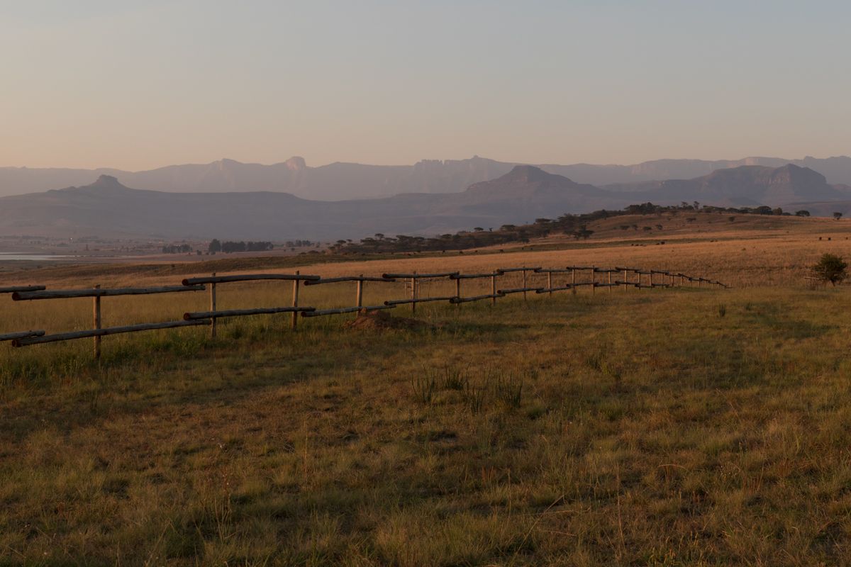
A standalone Drakensberg summit — the most photographed peak in the range, climbed from the Didima valley.
Champagne Castle
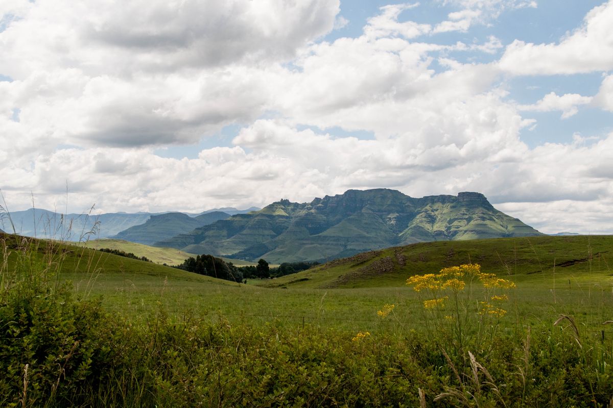
The Drakensberg's second-highest peak at 3,377m — a Monk's Cowl ascent and one of the berg's great summits.

Drakensberg
South Africa's great mountain range — sheer basalt escarpment, San rock art, and the country's best high-country hiking.

Mafadi
South Africa's highest peak at 3,450m — a Drakensberg escarpment summit on the Lesotho border, climbed from the Injisuthi side.

Mont-aux-Sources
A high Drakensberg massif at the source of the Tugela — the escarpment peak reached by the chain ladders.

The Amphitheatre
A five-kilometre, 1,000-metre-high basalt wall — the iconic face of the northern Drakensberg.