
Mafadi
South Africa's highest peak at 3,450m — a Drakensberg escarpment summit on the Lesotho border, climbed from the Injisuthi side.
Trip Role
Ideal stay
Best for
Our take
Mafadi is a serious, multi-day commitment for experienced hikers. It is not a casual climb, but a rugged, high-altitude slog that rewards persistence with the quiet satisfaction of standing at the highest point in the country.
Mafadi is a serious, multi-day commitment for experienced hikers. It is not a casual climb, but a rugged, high-altitude slog that rewards persistence with the quiet satisfaction of standing at the highest point in the country.
- Trip Role
- Only If Nearby
- Ideal Stay
- Three to four days.
- Best For
- serious multi-day hiking, high-altitude endurance, remote wilderness, bragging rights
- Skip If
- casual walkers, families with young children, those lacking navigation skills
- Go If
- You are a fit, self-sufficient hiker comfortable with navigation and multi-day wilderness trekking. This trip suits those who value the physical challenge of the Drakensberg escarpment over dramatic, jagged peak aesthetics.
Why it's worth your time
The highest point in South Africa — a 3,450m escarpment summit for serious Drakensberg hikers.
What we love
The regal, isolated atmosphere of the high escarpment. While the peak lacks a dramatic profile, the summit crown is studded with small, clear rock pools that catch the light, offering a rare moment of stillness at 3,450 metres above the rest of the world.
What to know
This is a remote, multi-day expedition requiring at least three days. You must be prepared for rapidly changing weather, including snow and fierce winds, even in summer. There are no marked trails on the summit plateau, so map and compass skills are essential. Always register your route at the Injisuthi camp office before departing.
The full guide
The Approach and Terrain
The journey begins at the Injisuthi camp, where you face an immediate, steep climb known as Heartbreak Hill. This is a gruelling introduction that tests your fitness early. The route typically involves navigating through the Injisuthi valley before ascending one of the mountain passes, such as Corner Pass or Judge Pass. These are not technical climbs in the mountaineering sense, but they are physically punishing, involving significant elevation gain over loose rock and steep gradients. You will spend your nights in caves or tents, as there are no facilities on the escarpment. The terrain is unforgiving, and the remoteness means you must carry all your supplies, including water filtration and warm gear, as the temperature can plummet without warning.
Summiting the Plateau
Once you reach the top of the escarpment, the landscape shifts to a vast, rolling plateau. The walk to the summit of Mafadi is relatively flat compared to the ascent, but it is long and exposed. You are essentially walking along the border between South Africa and Lesotho, with little to distinguish the two. The summit itself is a subtle rise, often obscured by cloud or mist. It is a place of quiet, expansive views rather than vertical drama. Because the area is so flat and featureless, navigation is the primary challenge. In poor visibility, it is very easy to lose your bearings. Stay alert to the weather, as the escarpment is prone to sudden, violent storms that can make the return journey treacherous.
Planning the Descent
The descent is often the most dangerous part of the trip. Many hikers choose to descend via Leslie's Pass, which is notoriously steep, rocky, and technical. It requires careful foot placement and can be punishing on the knees after days of hiking. If the weather turns, this pass becomes significantly more difficult. Once you reach the valley floor, you still have a long walk back to the Injisuthi camp, often involving river crossings that can be hazardous if the water levels are high. Do not underestimate the final day; the fatigue from the previous days of climbing makes the final kilometres feel much longer than they are. Ensure you have enough food and energy reserves to complete the trek safely back to your vehicle.
Before you book
Questions Mafadi always raises
- Do I need a guide to climb Mafadi?
- You do not legally require a guide, but you must be highly experienced in mountain navigation and wilderness survival. If you are not comfortable reading topographical maps or handling emergency situations in remote, high-altitude conditions, hiring a professional guide is strongly recommended for your safety.
- Is there a marked trail to the top?
- No. While there are well-worn paths leading up the passes and along the main routes, the final approach to the summit plateau is largely unmarked. You will need to rely on GPS, cairns, and map-reading skills to find the exact high point.
- What is the best season for this hike?
- Autumn and spring offer the most stable weather. Winter brings clear skies but extreme cold and the high risk of snow on the passes, while summer is prone to frequent, violent afternoon thunderstorms that can make the escarpment dangerous.
- Can I do this in a single day?
- No. The distance from the Injisuthi camp to the summit and back is over 50 kilometres with significant elevation gain. It is a multi-day expedition that requires camping on the mountain to be completed safely.
More mountain in KwaZulu-Natal
Cathedral Peak (Mountain)
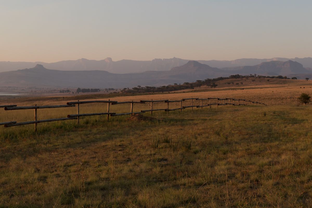
A standalone Drakensberg summit — the most photographed peak in the range, climbed from the Didima valley.
Champagne Castle
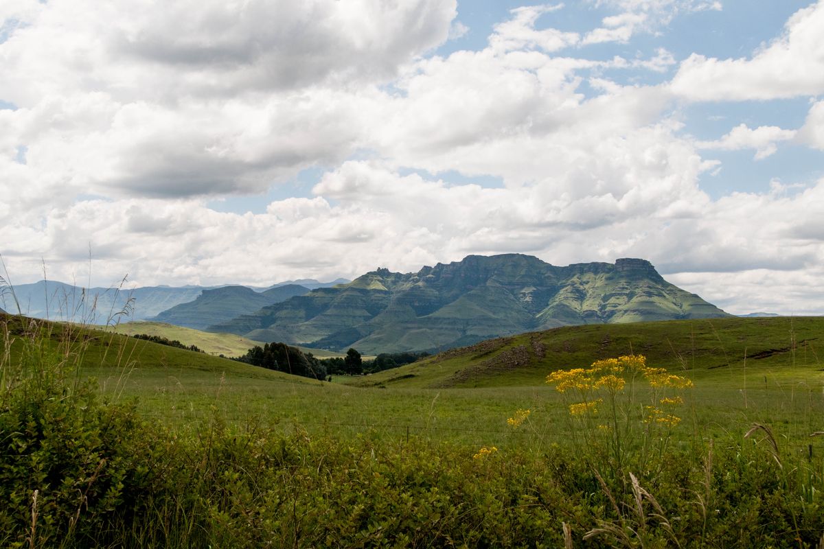
The Drakensberg's second-highest peak at 3,377m — a Monk's Cowl ascent and one of the berg's great summits.

Drakensberg
South Africa's great mountain range — sheer basalt escarpment, San rock art, and the country's best high-country hiking.

Mont-aux-Sources
A high Drakensberg massif at the source of the Tugela — the escarpment peak reached by the chain ladders.

Thabana Ntlenyana
The highest peak in southern Africa at 3,482m — technically in Lesotho but reached via the Sani Pass route from KZN.

The Amphitheatre
A five-kilometre, 1,000-metre-high basalt wall — the iconic face of the northern Drakensberg.