
Platteklip Gorge
The direct, reliable way up Table Mountain — steep but straightforward in good weather.
Trip Role
Ideal stay
Best for
Our take
Platteklip Gorge is a relentless, utilitarian stone staircase that prioritises efficiency over scenery. It is the most reliable way to reach the summit, provided you respect the heat and the mountain's unpredictable weather.
Platteklip Gorge is a relentless, utilitarian stone staircase that prioritises efficiency over scenery. It is the most reliable way to reach the summit, provided you respect the heat and the mountain's unpredictable weather.
- Trip Role
- Day Trip
- Ideal Stay
- 2 to 3 hours for the ascent, plus cable car time.
- Best For
- a direct ascent, reliable navigation, reaching the cable car station
- Skip If
- those with knee injuries, hikers seeking shade or solitude
- Go If
- You want the most direct, navigation-free route to the top of Table Mountain and possess the physical stamina to climb a steep, sustained incline for several hours without needing flat relief.
Why it's worth your time
Not the prettiest route, but the safest and most predictable. Take the cable car down unless it's closed. Start early; the gorge is a sun trap by mid-morning.
What we love
The absolute predictability of the route. While other trails on the mountain require navigation skills or involve exposure to heights, this is a clear, well-marked path that removes the guesswork, allowing you to focus entirely on your own physical pace and the summit ahead.
What to know
The trail is a north-facing sun trap with almost no shade. Even on cool days, the lack of wind protection in the gorge makes it feel significantly hotter. Always carry at least two litres of water per person, as there are no refill points on the route. Check the cable car status before you start, as it frequently closes due to high wind.
The full guide
The ascent and the daily rhythm
The route begins on Tafelberg Road, roughly one kilometre past the lower cable station. You will find the trailhead clearly marked. From the start, the path is a continuous, steep climb consisting of thousands of stone steps. There is no flat ground to recover on, so the rhythm of your day is dictated by your ability to maintain a steady, slow pace. Most hikers reach the upper cable station in two to three hours. Once you reach the top, you can explore the plateau or head directly to the cable car. If you plan to descend by cable car, check its operational status at the base before you begin. If the wind is too strong, the system shuts down, and you will be forced to walk back down the same steep path you just climbed.
Managing the physical challenge
The primary challenge here is the gradient and the lack of shade. Because the gorge faces north, it catches the full force of the sun, turning the path into an oven by mid-morning. There are no technical moves or sheer drops that require a head for heights, but the constant, repetitive motion is punishing on the knees and calves. If you are not accustomed to steep, sustained climbing, your legs will fatigue quickly. Take frequent, short breaks to catch your breath and drink water. If you feel lightheaded or exhausted, stop in the shade of a rock outcrop. Do not push through severe fatigue, as the descent is just as taxing on the joints as the climb. Wear sturdy footwear with good grip, as the stone steps can be uneven and slippery if damp.
Weather and safety essentials
Table Mountain weather changes rapidly. A clear morning can turn into a cold, misty, or windy afternoon in minutes. Always pack a windproof jacket, even if it is hot at the trailhead. The wind on the upper plateau is often significantly stronger than in the city. For safety, hike in a group of at least four people to deter opportunistic crime, which can occur on quieter sections of the mountain. Keep your phone and valuables out of sight when not in use. If you are hiking alone, you are more vulnerable, so stick to the busiest times of the day when other hikers are nearby. Always monitor the mountain for fire warnings or trail closures via official park channels before you leave your accommodation. Never attempt this route in heavy rain or thick mist.
Before you book
Questions Platteklip Gorge always raises
- Is Platteklip Gorge suitable for children?
- It is suitable for older, active children who are used to hiking and can handle a steep, sustained climb. It is not recommended for small children or those who tire easily, as there is no way to exit the trail once you have started other than turning back.
- Can I hike this route alone?
- While many people do, it is not recommended by park authorities due to the risk of muggings on the mountain. Hiking in a group of four or more is the safest way to enjoy the trail and ensures you have support if you get injured.
- Do I need a permit to hike here?
- No, the Platteklip Gorge trail is free to access and does not require a permit. You only need to pay if you choose to use the cable car for your descent or ascent.
- What happens if the cable car is closed?
- If the cable car is closed due to high winds or maintenance, you must hike back down the way you came. This is why it is essential to check the cable car status before you start your hike and to carry enough water and clothing for a full day.
More hike in Western Cape

Cecilia Forest Hike
A half-day forest walk on the back of Table Mountain near Kirstenbosch, rising gently onto the contour path.

Cederberg Cracks Hike
A half-day hike through the Cederberg's signature rock formations, the Cracks, near Algeria.
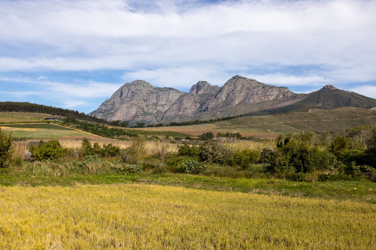
Cederberg Wolfberg Arch Hike
The iconic Cederberg hike to the Wolfberg Arch and Crack — two nights, rock formations, and a high plateau camp.
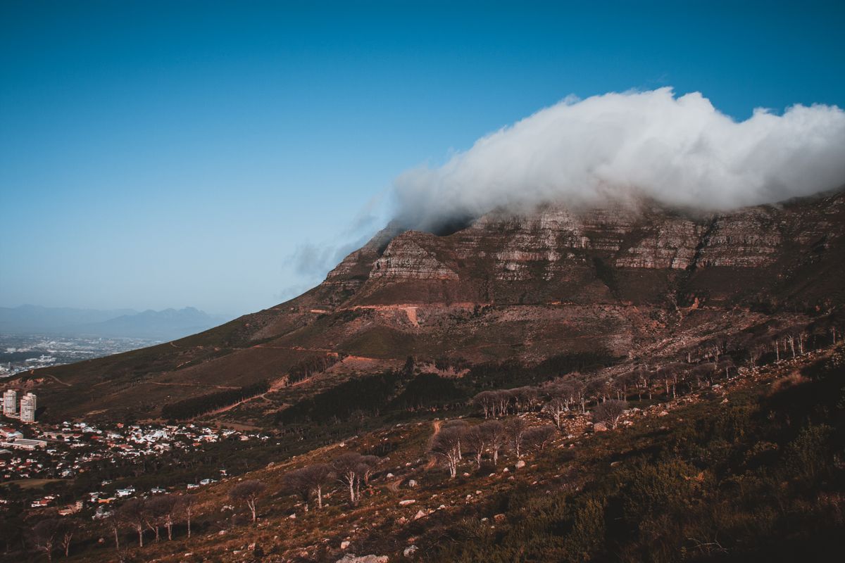
Devil's Peak Hike
The Table Mountain sibling hike to the peak that frames the City Bowl — a steep, quiet summit away from the cableway crowds.
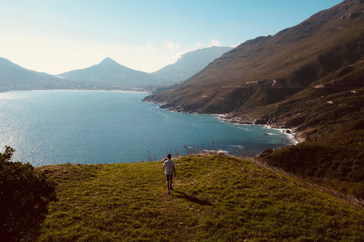
Du Toitskloof Hike
A Boland mountain hike between Paarl and Worcester — high passes, a waterfall tunnel, and a Cape-fold range crossing.

Elephant's Eye Cave Hike
A half-day hike in Silvermine Nature Reserve to a cave with a view over False Bay.