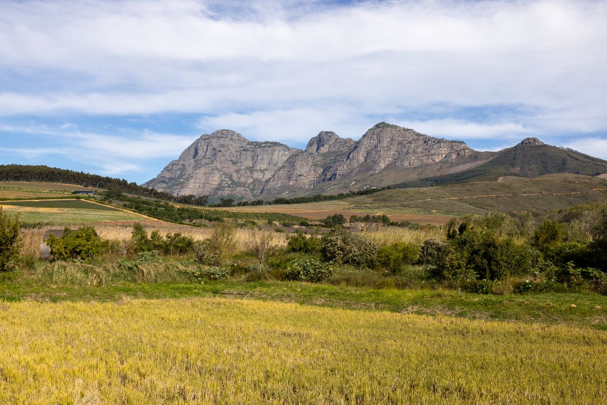
Cederberg Wolfberg Arch Hike
The iconic Cederberg hike to the Wolfberg Arch and Crack — two nights, rock formations, and a high plateau camp.
Trip Role
Ideal stay
Best for
Our take
This is a serious, strenuous mountain day that demands respect for the terrain and the heat. It is a rewarding, rugged adventure for those who can handle steep, technical scrambling and long hours of exposure.
This is a serious, strenuous mountain day that demands respect for the terrain and the heat. It is a rewarding, rugged adventure for those who can handle steep, technical scrambling and long hours of exposure.
- Trip Role
- Worth a Detour
- Ideal Stay
- Six to eight hours, plus the drive.
- Best For
- technical rock scrambling, dramatic sandstone formations, high plateau views, wilderness solitude
- Skip If
- beginners, the unfit, those with a fear of heights
- Go If
- You are a fit, experienced hiker who enjoys technical rock scrambling and wants to see the Cederberg’s most dramatic sandstone formations. You must be comfortable navigating open, unmarked terrain in remote conditions.
Why it's worth your time
The Cederberg's signature rock-formation hike — the Arch, the Crack, and a high-sandstone plateau overnight.
What we love
The transition from the claustrophobic, vertical intensity of the Cracks to the sudden, expansive silence of the high plateau is unmatched. Standing beneath the massive, wind-carved Arch feels like reaching the edge of a forgotten world, far removed from the valley floor below.
What to know
There is zero water on the route, so you must carry everything you need, especially in summer when temperatures regularly exceed 40 degrees Celsius. The trail is not consistently marked; you will rely on small rock cairns across open sandstone slabs. Always check the weather forecast, as the Cederberg is prone to extreme heat and sudden, dangerous cold fronts.
The full guide
The Route and the Climb
The day begins with a steep, relentless ascent from the trailhead. You are climbing into the Wolfberg Cracks, a series of narrow, vertical sandstone fissures that require you to scramble over boulders and squeeze through tight gaps. In some sections, you may need to remove your pack to fit through the openings. Once you emerge from the top of the Cracks, the terrain shifts to an exposed, rocky plateau. The path toward the Arch is flatter but remains rugged, winding across open fynbos and sandstone slabs. The route is not a manicured trail, and you must pay close attention to the landscape to stay on track. The return journey follows the same path, meaning you must descend the steep, rocky sections you climbed earlier, which can be taxing on the knees and ankles.
Handling the Technical Sections
The Cracks are the most technical part of the day. You will encounter sections that require hand-over-hand scrambling, and some routes involve climbing through chimneys or under large boulders. While there are no sheer cliff drops that require ropes, the exposure is significant enough to unnerve those with a fear of heights. The path is often obscured by the rocky nature of the terrain, and you will frequently rely on small piles of stones, or cairns, to find your way. If you lose the cairns, stop and look around rather than pushing forward blindly. The descent is just as demanding as the climb, as the loose rock and steep gradient require careful footing. If you are not confident in your ability to navigate or scramble, consider turning back at the top of the Cracks.
Timing and Preparation
The best time to hike is between April and September, when the temperatures are manageable. Summer is punishingly hot, and the lack of shade makes heatstroke a genuine risk. Always start at first light to ensure you are off the mountain before the heat peaks. In winter, the mountain can be freezing, and snow or heavy rain can make the rocks dangerously slippery. Check the weather forecast for the Cederberg specifically, as it often differs from the coast. You must carry a minimum of three to four litres of water per person in summer, as there are no reliable sources on the mountain. Permits are mandatory and must be purchased at the Dwarsrivier office before you start. Never attempt this route without a map, a fully charged phone, and a clear understanding of the day's conditions.
Before you book
Questions Cederberg Wolfberg Arch Hike always raises
- Do I need a permit to hike the Wolfberg Arch?
- Yes, permits are mandatory for both the Cracks and the Arch. You can purchase them at the Dwarsrivier farm office at Sanddrif. They are not expensive, but they are essential and rangers do check them.
- Is the trail well-marked?
- The trail is not consistently marked. While there are some cairns, they can be misleading or absent in rocky sections. You need to be comfortable with basic navigation and should carry a map or a reliable GPS track to avoid getting lost.
- Can I find water along the way?
- No, there is no water available on the route. You must carry all the water you need for the entire day. In summer, this means at least three to four litres per person to avoid dehydration.
- Is this hike suitable for children?
- It is generally not suitable for young children or those without significant hiking experience. The steep, technical scrambling and the long, exposed nature of the hike make it a strenuous day that requires a high level of fitness and focus.
More hike in Western Cape

Cecilia Forest Hike
A half-day forest walk on the back of Table Mountain near Kirstenbosch, rising gently onto the contour path.

Cederberg Cracks Hike
A half-day hike through the Cederberg's signature rock formations, the Cracks, near Algeria.
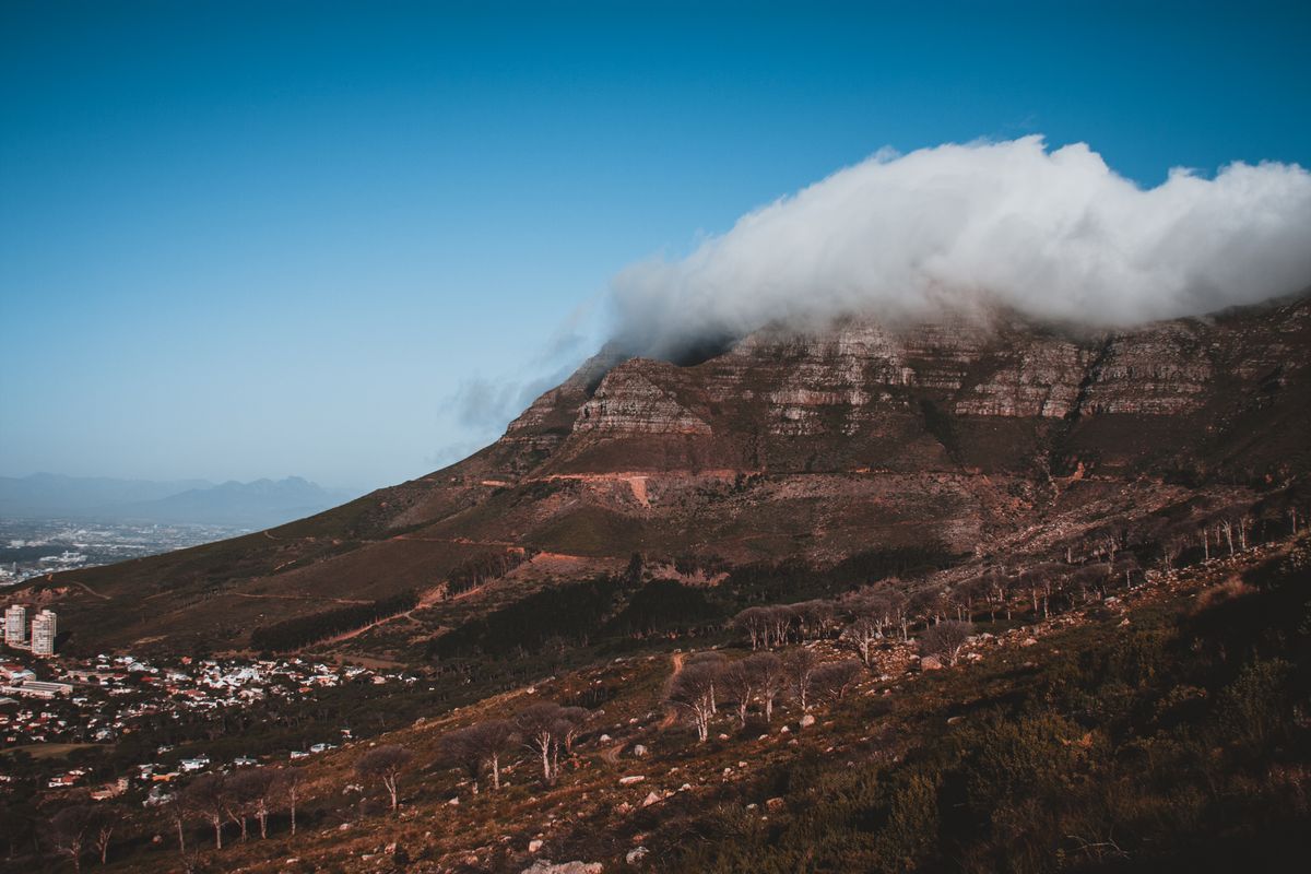
Devil's Peak Hike
The Table Mountain sibling hike to the peak that frames the City Bowl — a steep, quiet summit away from the cableway crowds.
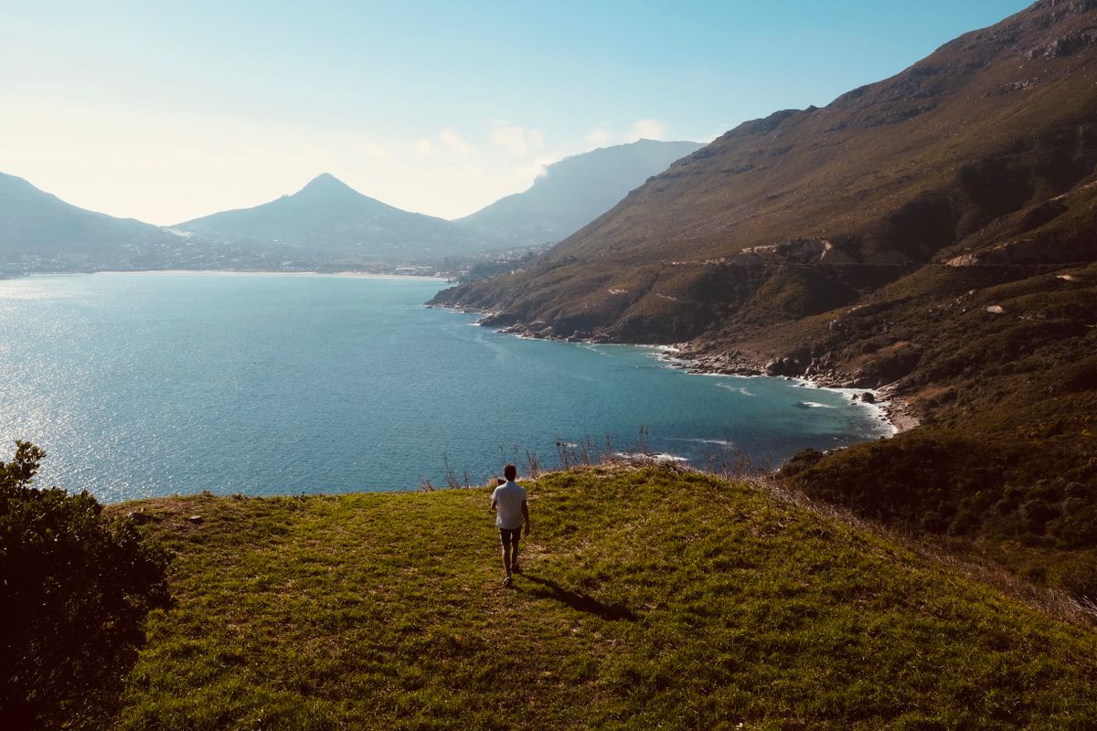
Du Toitskloof Hike
A Boland mountain hike between Paarl and Worcester — high passes, a waterfall tunnel, and a Cape-fold range crossing.

Elephant's Eye Cave Hike
A half-day hike in Silvermine Nature Reserve to a cave with a view over False Bay.

Fernkloof Circular Walk
A network of easy Hermanus fynbos walks — 60km of trails above the town, and the best whale-watching return on foot.