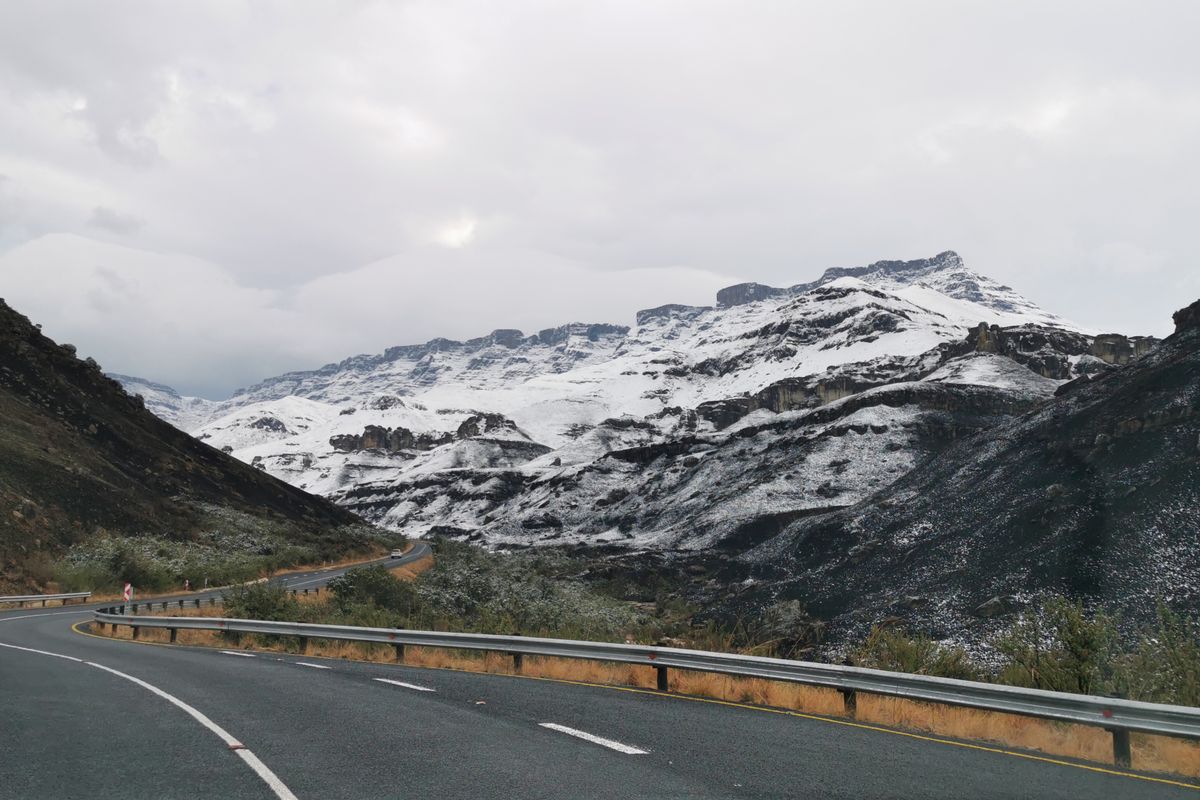
Bloukrans Pass
A steep Tsitsikamma pass down to the Bloukrans River — the road beside the world's highest bungee bridge.
Trip Role
Ideal stay
Best for
Our take
The Bloukrans Pass is a ghost of a road, a beautiful, decaying relic of engineering that serves as a quiet, overgrown alternative to the high-speed N2 bridge above. It is a destination for those who prefer solitude over adrenaline.
The Bloukrans Pass is a ghost of a road, a beautiful, decaying relic of engineering that serves as a quiet, overgrown alternative to the high-speed N2 bridge above. It is a destination for those who prefer solitude over adrenaline.
- Trip Role
- Quick Stop
- Ideal Stay
- two to three hours, depending on your pace
- Best For
- hiking, cycling, forest photography, historical engineering, quiet nature
- Skip If
- motorists, families with small children, those with limited mobility
- Go If
- You are a cyclist or a hiker who wants to experience the raw, quiet scale of the Tsitsikamma forest without the noise of the national highway traffic or the bungee crowds.
Why it's worth your time
The Tsitsikamma pass beside the Bloukrans bungee — a steep drop to a forested river.
What we love
The contrast between the modern N2 bridge, where people pay to throw themselves into the void, and the old pass below. Down here, the forest has reclaimed the tarmac, and the silence is broken only by the river and the wind, offering a rare, unmanicured look at the gorge.
What to know
The pass is officially closed to all motor vehicles. You will find large gravel heaps blocking the entrances at both ends. While cyclists and pedestrians can bypass these, the road surface is in severe disrepair. Expect rockfalls, deep washaways, and dense vegetation that narrows the path to a single track. Always check local conditions before entering, as the terrain is unstable.
The full guide
The Route and Access
The pass sits on the old R102 alignment, tucked beneath the modern N2 highway between Plettenberg Bay and Nature's Valley. Access is restricted by physical barriers at both the eastern and western ends. You cannot drive this route in a car. If you intend to explore it, you must park your vehicle safely outside the closure points and proceed on foot or by mountain bike. The route is long and winds through the dense Tsitsikamma forest, offering a completely different perspective of the gorge than the view from the highway. Because the road is no longer maintained, you should treat it as a wilderness trail rather than a public thoroughfare. Ensure you have adequate water and supplies, as there are no facilities, cell signal is unreliable, and you are entirely on your own once you descend into the ravine.
Road Conditions and Hazards
The surface is a mix of cracked, weathered asphalt and encroaching forest floor. Decades of neglect have left the road vulnerable to the elements. You will encounter significant washaways where the road has simply fallen away into the gorge, as well as frequent rockfalls that can block the path entirely. The vegetation is often overgrown, reducing visibility and narrowing the track to a single, tight lane. Steep gradients remain from the original design, and the edges are often soft or crumbling. If you are cycling, be prepared for technical sections that may require you to dismount and carry your bike. The environment is dynamic and unpredictable; what was passable a month ago may be blocked by a fresh slide or fallen tree today. Exercise extreme caution near the cliff edges, as there are no safety barriers.
Timing and Weather
Daylight is your only window for this excursion. The forest canopy is dense, and the gorge floor falls into deep shadow long before sunset, making navigation difficult and potentially dangerous. Avoid the pass entirely during or immediately after heavy rain. The Tsitsikamma region is prone to high rainfall, which turns the already unstable road surface into a mud trap and increases the risk of rockfalls and slope failure. Summer brings humidity and heat, while winter can be damp and chilly. Check the weather forecast for the Garden Route before you commit to the trip. If the sky looks threatening, stay on the N2. There is no shelter in the gorge, and the steep climb back out becomes significantly more taxing in poor weather conditions. Always inform someone of your plans and your expected return time.
Before you book
Questions Bloukrans Pass always raises
- Can I drive my car through the Bloukrans Pass?
- No. The pass is permanently closed to all motor vehicles. Large gravel mounds block the entrances, and the road surface is too damaged and overgrown to support car traffic. Attempting to bypass the barriers is illegal and dangerous.
- Is it safe to hike the pass alone?
- It is not recommended. The pass is remote, lacks cell reception, and has unstable road conditions. If you choose to hike it, go with a partner, carry a first-aid kit, and ensure someone knows your route and expected return time.
- Are there any facilities or water points on the route?
- There are no facilities, toilets, or water points anywhere on the pass. You must carry everything you need for the duration of your visit. The nearest services are located in Nature's Valley or near the N2 bridge.
- What should I do if I encounter a rockfall?
- Turn back immediately. Rockfalls indicate unstable slopes, and further movement is likely. Do not attempt to climb over or clear debris, as the road structure itself may be compromised. Your safety is not worth the risk of a potential secondary slide.
More mountain pass in Western Cape

Bainskloof Pass
Another Thomas Bain pass, linking Wellington to the Ceres Valley over the Limietberg.

Grootrivier Pass
The pass that drops into the Tsitsikamma Groot River gorge — the dramatic eastern end of the Garden Route.

Meiringspoort
A spectacular road that threads a gorge through the Swartberg, crossing the river 25 times.

Outeniqua Pass
The modern N9/N12 pass over the Outeniqua range to George — the main route to the Klein Karoo and Oudtshoorn.

Robinson Pass
The R62 pass over the Outeniqua between Oudtshoorn and the coast at Mossel Bay — the Klein Karoo's dramatic drop to the sea.

Seven Passes Road
The old Knysna–George forest road with seven historic passes — a slow, forested alternative to the N2.