
Bainskloof Pass
Another Thomas Bain pass, linking Wellington to the Ceres Valley over the Limietberg.
Trip Role
Ideal stay
Best for
Our take
Bainskloof Pass is a narrow, demanding, and historically significant mountain road that rewards patient drivers with raw, rugged scenery. It is a serious drive that requires constant attention rather than a casual cruise.
Bainskloof Pass is a narrow, demanding, and historically significant mountain road that rewards patient drivers with raw, rugged scenery. It is a serious drive that requires constant attention rather than a casual cruise.
- Trip Role
- Quick Stop
- Ideal Stay
- 90 minutes to two hours, excluding stops.
- Best For
- scenic driving, hiking, river swimming, historical engineering, fynbos viewing
- Skip If
- caravans, large trucks, nervous drivers, those in a hurry
- Go If
- You are a confident driver who enjoys technical mountain roads and wants to experience a piece of 19th-century engineering history while accessing hiking trails and river swimming spots in the Limietberg.
Why it's worth your time
Old, narrow, and scenic — a quieter alternative to the N1 for reaching Ceres and the Koue Bokkeveld. There's a swimming spot at Witte River on a hot day.
What we love
The pass remains largely true to its original 1850s alignment, clinging to the mountainside with dry-stone retaining walls that feel like a direct connection to the past. Unlike modern, sanitized highways, this road forces you to engage with the landscape, the steep gradients, and the dramatic river gorge below.
What to know
The road is narrow, often lacking barriers, and prone to rockfalls that can cause temporary closures. Check local conditions before departing, especially after heavy rain. While the pass is paved, the surface quality varies. It is not a road for speed; expect to share the space with cyclists and hikers, and always watch for oncoming traffic on blind corners.
The full guide
The Route and Direction
The pass connects Wellington to the Ceres Valley via the R301. Driving from the eastern side, starting near Ceres and heading towards Wellington, is often preferred as it places the mountain side of the road on your left, providing a slightly more comfortable feeling against the drop-offs. The route spans roughly 28 kilometres of winding tarmac. It is not a shortcut for those in a hurry, as the tight corners and narrow sections demand a slow, steady pace. If you are heading towards the interior, this route offers a far more engaging experience than the N1, provided you have the time to spare. Always verify if the pass is open before you leave, as rockfalls and washaways can lead to sudden closures that are not always immediately reflected on digital maps.
The Road Surface and Hazards
This is a narrow, technical road with a history of being built by hand. You will encounter sharp, frequent bends and steep gradients that reach up to 20 percent in sections. The road surface is tarred but can be rough, and the edges are often unprotected by barriers, dropping sharply into the Witte River gorge. Large vehicles, including caravans and heavy trucks, should avoid this route entirely due to the tight clearances and the risk of getting stuck or causing an obstruction. Keep your eyes on the road, as blind corners are common and oncoming vehicles may stray into your lane to navigate the tighter curves. The stone retaining walls are original features that add to the character of the pass, but they offer no protection against driver error.
Timing and Conditions
Spring and autumn are the most comfortable times to drive, offering clear visibility and pleasant temperatures for stopping at the various viewpoints or hiking trails. Summer is popular for the rock pools at Tweede Tol, but the pass can get busy with day-trippers, making the narrow road feel more congested. Winter brings the risk of rain and mist, which can make the road surface slippery and visibility poor. If you choose to drive in winter, be prepared for the possibility of closures due to rockfalls or flooding. Regardless of the season, avoid driving the pass in the dark if you are unfamiliar with the route, as the lack of lighting and the sheer drops make it hazardous. Always allow extra time for photo stops and slow-moving traffic.
Before you book
Questions Bainskloof Pass always raises
- Is Bainskloof Pass safe for a standard sedan?
- Yes, a standard sedan can handle the pass, provided the driver is comfortable with narrow roads and steep drop-offs. The road is paved, but it is tight and requires careful navigation. Avoid it if you are driving a large vehicle or towing a caravan.
- Can I drive the pass in the rain?
- You can, but it is not recommended. Rain increases the risk of rockfalls and makes the narrow, winding road surface slippery. Visibility often drops significantly in the mountains, making the lack of barriers even more hazardous. Check local weather reports before you head out.
- Are there places to stop along the way?
- Yes, there are several laybys and viewpoints along the pass where you can pull over to look at the scenery. The Tweede Tol area is a popular spot for picnics and accessing hiking trails, though it can get busy during summer weekends.
- How long does it actually take to drive?
- The drive itself takes about 45 to 50 minutes if you do not stop. However, you should budget at least two hours to account for the slow, winding nature of the road, oncoming traffic, and the inevitable need to pull over for photos.
More mountain pass in Western Cape
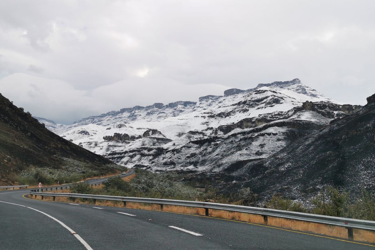
Bloukrans Pass
A steep Tsitsikamma pass down to the Bloukrans River — the road beside the world's highest bungee bridge.

Grootrivier Pass
The pass that drops into the Tsitsikamma Groot River gorge — the dramatic eastern end of the Garden Route.
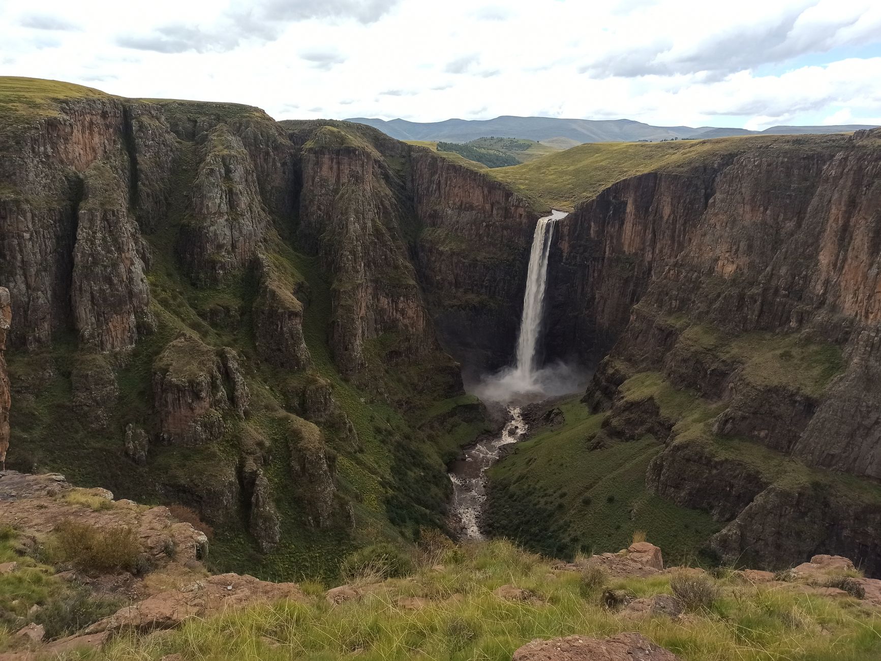
Meiringspoort
A spectacular road that threads a gorge through the Swartberg, crossing the river 25 times.

Outeniqua Pass
The modern N9/N12 pass over the Outeniqua range to George — the main route to the Klein Karoo and Oudtshoorn.

Robinson Pass
The R62 pass over the Outeniqua between Oudtshoorn and the coast at Mossel Bay — the Klein Karoo's dramatic drop to the sea.

Seven Passes Road
The old Knysna–George forest road with seven historic passes — a slow, forested alternative to the N2.