
Horseshoe Falls
A horseshoe-shaped falls on the Sabie river — a short walk, a swim, and a Panorama-Route stop.
Trip Role
Ideal stay
Best for
Our take
Horseshoe Falls is a modest, pleasant detour for those already exploring the Sabie area. It lacks the sheer scale of the region's major drops, but its unique shape and quiet, forested setting offer a relaxing break.
Horseshoe Falls is a modest, pleasant detour for those already exploring the Sabie area. It lacks the sheer scale of the region's major drops, but its unique shape and quiet, forested setting offer a relaxing break.
- Trip Role
- Quick Stop
- Ideal Stay
- 45 minutes to 90 minutes, plus the drive
- Best For
- a quiet picnic, a quick swim, local birding, a short forest walk
- Skip If
- travellers seeking massive, high-altitude waterfalls, those in a major hurry
- Go If
- You are already touring the Sabie waterfalls and want a quiet, low-effort spot to picnic or swim. It suits travellers who prefer a gentle forest walk over a strenuous hike.
Why it's worth your time
A Panorama-Route swim-stop — a horseshoe of falls a short walk from the road.
What we love
The setting feels intimate and secluded compared to the more commercialised viewpoints on the Panorama Route. The walk from the parking area is short and pleasant, winding through indigenous forest that provides a cool, green canopy, making it a genuinely peaceful place to linger for an hour.
What to know
The access road is gravel and can be poorly maintained with significant potholes, so drive slowly. The site is on private property, and a small entrance fee is required at the gate. Facilities are basic, so bring your own food and water if you plan to picnic. Check your vehicle's clearance before attempting the drive.
The full guide
The approach and the walk
Reaching the falls requires a drive on a gravel road that branches off the old Lydenburg road. This track is often in poor condition, so take it slow to avoid damage to your vehicle. Once you arrive at the parking area, you will pay a small entrance fee to the attendant on duty. The walk to the waterfall is short and easy, following a path through a patch of indigenous forest. It is a gentle, shaded stroll that is accessible for most fitness levels. You are essentially walking along the riverbank, which keeps the environment cool and pleasant even on warmer days. The path is well-defined, making it a straightforward walk that serves as a nice break from the time spent behind the wheel.
The waterfall experience
The falls themselves are named for their distinct, curved shape, which creates a wide, circular cascade rather than a single vertical drop. It is a quiet, picturesque feature that feels tucked away from the main tourist thoroughfares. Because the water flow varies significantly with the seasons, the intensity of the falls changes throughout the year. During the summer months, the flow is more robust, while in the drier winter, it can be quite thin. The area around the base of the falls is a popular spot for a picnic or a quick swim in the river. If you enjoy fishing, the nearby dam is also an option for casting a line. It is a place for a slow, relaxed visit rather than a quick photo opportunity.
Combining with other stops
This site is best visited as part of a wider tour of the Sabie waterfalls. It sits in close proximity to other notable spots like Lone Creek Falls and Bridal Veil Falls, all of which are located off the old Lydenburg road. You can easily group these three together for a half-day excursion. Because the drive to Horseshoe Falls involves a gravel road, it is worth checking the weather before you go, as heavy rain can make the track more difficult to navigate. Most travellers combine these smaller, forest-based falls with a trip to the larger, more famous sites like Mac-Mac or Lisbon Falls further north. Plan your day to start in Sabie and work your way through the various falls, keeping this one for a quiet, mid-day break.
Before you book
Questions Horseshoe Falls always raises
- Is the road to the falls suitable for a standard sedan?
- Yes, a standard car can make the trip, but the gravel road is often potholed. Drive slowly and carefully to avoid damage. If there has been heavy rain, the road may be muddier, so assess the conditions before proceeding.
- Can I swim at the falls?
- Yes, swimming is permitted in the river near the falls. The pool is generally calm, but always check the water levels and current before entering, especially after heavy summer rains when the water can be more turbulent.
- Do I need to pay to enter?
- Yes, the falls are located on private property, and there is a small entrance fee payable at the gate. Ensure you have some cash on hand, as card facilities may not always be available at the entrance.
- How long does it take to walk to the waterfall?
- The walk from the parking area is very short, typically taking less than ten minutes at a leisurely pace. It is an easy, flat path through the forest, making it suitable for families and those who do not want a long hike.
More waterfall in Mpumalanga
Berlin Falls
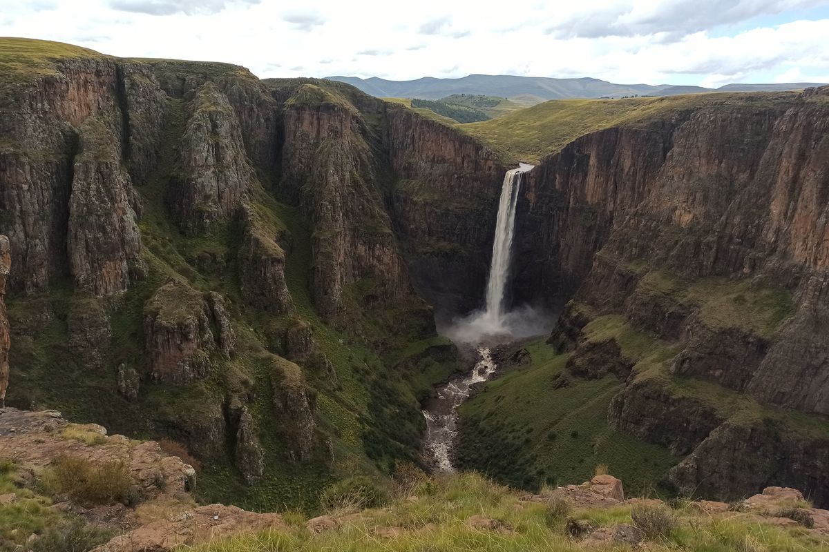
A single, slender waterfall in a forested amphitheatre near Graskop.
Bridal Veil Falls
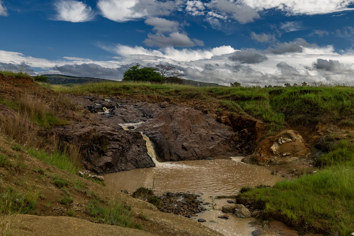
A 70m lace-curtain falls near Sabie — a short forest walk to a delicate, high, photogenic drop.

Forest Falls
A wide, low Panorama-Route falls in pine forest — the broadest of the Sabie-area waterfalls.
Lisbon Falls
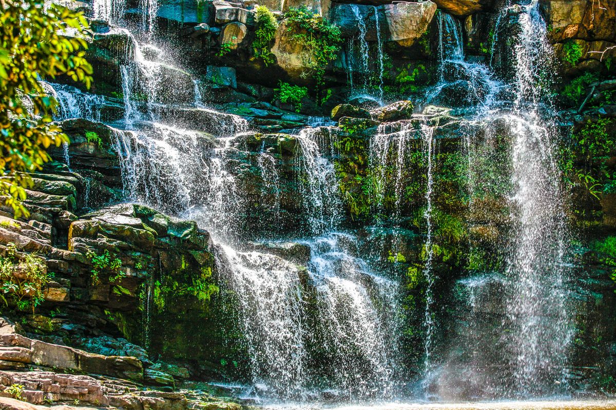
The highest of the Panorama Route waterfalls, a 90-metre drop near Graskop.

Lone Creek Falls
A tall, narrow waterfall in dense forest near Sabie — the easiest of the Panorama Route falls to reach.

Mac-Mac Falls
Twin waterfalls near Sabie named after the gold rush that tried to mine the rock above them.